Coupled Northwest Atlantic Prediction System (CNAPS)
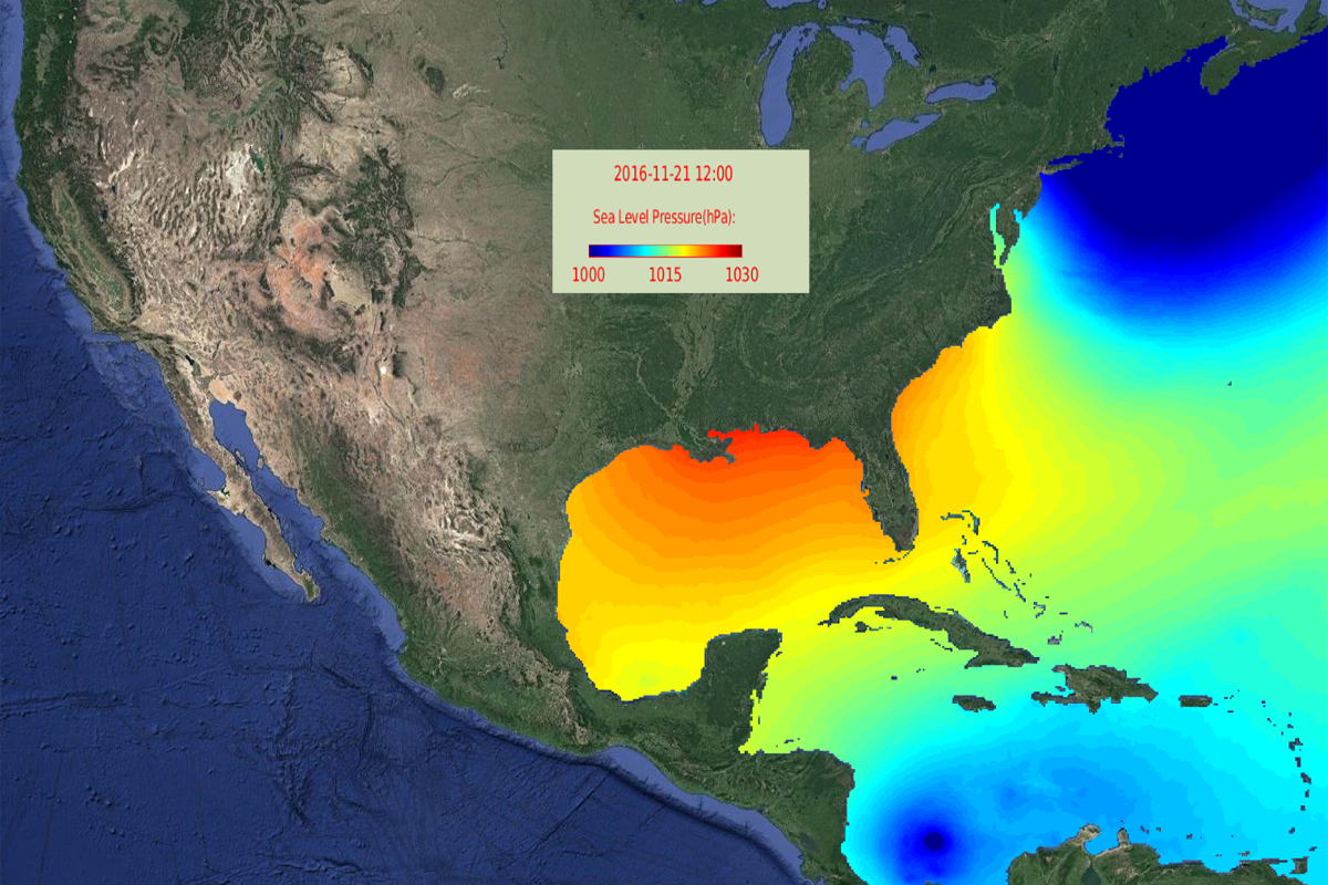
The Coupled Northwest Atlantic Prediction System (CNAPS) is a three-dimensional marine environment nowcast and forecast model developed by the Ocean Observing and Modeling Group. This fully coupled ocean circulation, wave, and atmosphere modeling system predicts conditions over a wide area of the coastal northwest Atlantic Ocean on a daily basis. The model domain covers from the eastern edge of Nova Scotia to the north coast of Venezuela, including the Gulf of Maine, Middle Atlantic Bight, South Atlantic Bight, Gulf of Mexico, Caribbean Sea, and western Sargasso Sea.
Through the CNAPS user-friendly, interactive website, users can choose ocean and air properties then view the conditions from a specific day or watch an animation of the property between selected dates.
Maps of model-generated regional dynamics are organized into three sections:
- Marine Weather, with variables of wind speed at 10 m above sea surface, air temperature at 2 m above sea surface, and sea-level air pressure;
- Ocean Waves, showing significant wave height and direction;
- Ocean Circulation, with variables of ocean temperature, salinity, and currents that can be displayed at specific depths.
Virtual Oceanographer allows users to take on the role of oceanographer, by collecting model-generated data. User-defined inquires include virtual transect (subsurface temperature, salinity, and velocity plots), virtual sounding (temperature and salinity profiles), and 72 hour particle trajectory prediction (Lagrangian drifters).
Model Validation presents observational data alongside model output for a visual comparison of model accuracy.

